Absolute bloody lunatic drivers on the big inland loop road from Port St John to Port Edward! Lovely countryside, but we couldn’t see much of it most of the time due to heavy fog and rain.
That doesn’t stop the mini-bus and truck drivers from overtaking uphill, on a blind bend, on a single track road.
At one point a dog ran out in front of us. I could only touch my brakes lightly as there was a minibus hard on our rear bumper and a truck overtaking both of us. The dog ran past our front wheels and the truck sailed right over the top of it – with the mutt passing unmarked between it’s axels. How our 3 vehicles didn’t end up off the road I’ll never know.
The rest of the drive along the coast road from Ilovo and then on to Durban was pretty uneventful and all the towns are pretty touristy (serving the Durbanites who evacuate the City during the summer months).
The weather was grizzly for a couple of days all along the route and then also heading north on the N3 from Durban – the scenery consists of miles of beach resort towns and undulating sugar-cane plantations.
About 300km north of Durban as we got onto the R73 to Winterton and then Bergville, the weather got worse but the scenery got better.
However, we’ve been looking forward to going into The Drakensberg Mountains for months, so a spot of bad weather was not going to put us off.
With peaks at about 3,200m The Drakensberg are in Kwazulu-Natal and essentially form the eastern border with the country of Lesotho – itself totally surrounded by South Africa.
As we camped at 2,100m in Hlalanathi, about 10km west after crossing the Olivershoek Pass. As we arrived in the rain, I thought it was beautiful – but not dissimilar to much of Wales or Scotland. I couldn’t really see why it’s designated as a World Heritage Site though?
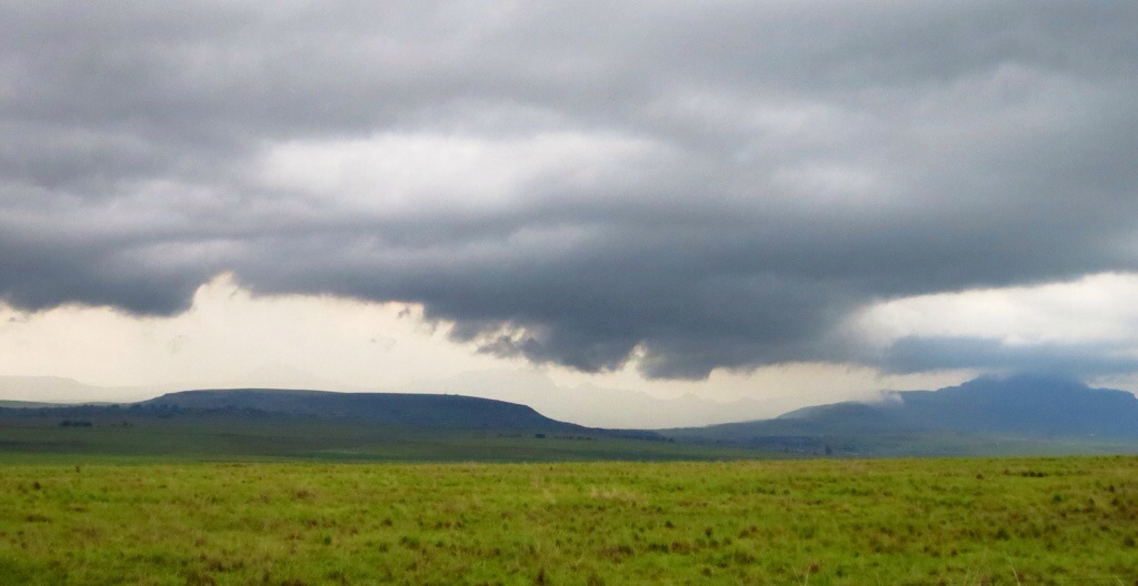
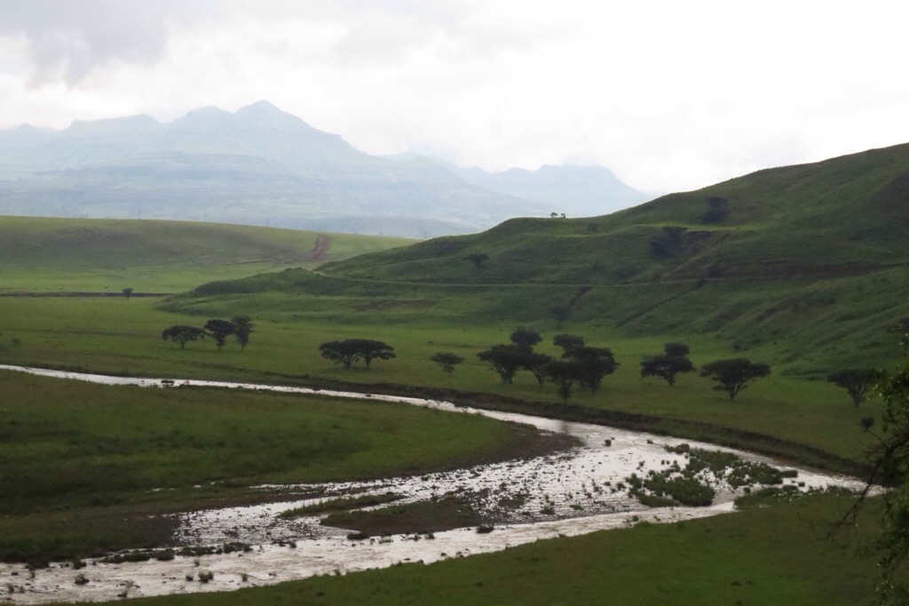
This was the view of the mountains and the Tugela river from The Penthouse that afternoon, as an almighty storm approached us.
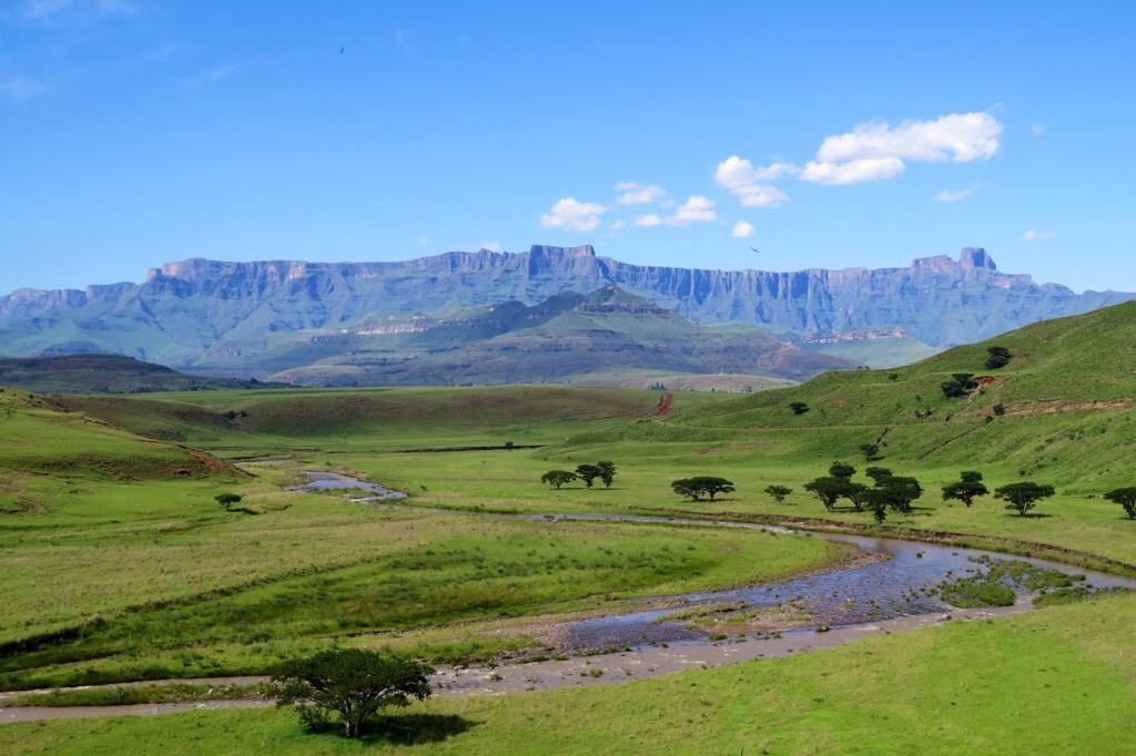
The next morning all (literary) became clear. At sunrise this was the same view from The Penthouse.
Stunning.
The mountain range we saw in the photo of the previous evening was dwarfed by The Drakensburg ‘proper‘.
In the centre, the Mont-aux-Sources ‘Amphitheatre‘. At about 3,100m high, a 4km curve of granite and basalt. To the right, The Sentinel peak.
We spent three days wallowing in the view and the beautiful countryside – mind you, 50% of the time we couldn’t see anything due to the incredible storms that hit us at least once a day.
One evening, at the peak of a 5-hour storm, lightening flashed orange or blue or silver (sometimes all three) every 5-10 seconds for over an hour: it bounced 360 degrees around us in forks sometimes so wide they were more like ribbons striking the ground: almost every strike was 3-5 ‘pulses’ rather than a single strike.
At one point a huge orange fire-ball hit the hillside opposite us – after hanging in the air about 70m off the ground for 5-6 seconds, then striking the hillside and sending up a plume of smoke about 100m high!
Marvellous.
We love storms, but we’re starting to feel that we may be ‘Storm-Chased’ rather than ‘Storm-Chasers’.
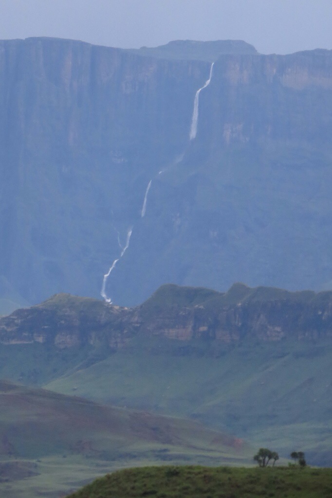
After the third storm however we did get to witness a rare event. A waterfall from the very top of the main escarpment. We couldn’t really photograph it properly through the mist and rain (plus it was about 14km away from our camp) but it’s fall is in excess of 1km and it’s relative width shows the huge volume of water involved.
Only a few hours later it was gone, and people began to get on about their chores again.
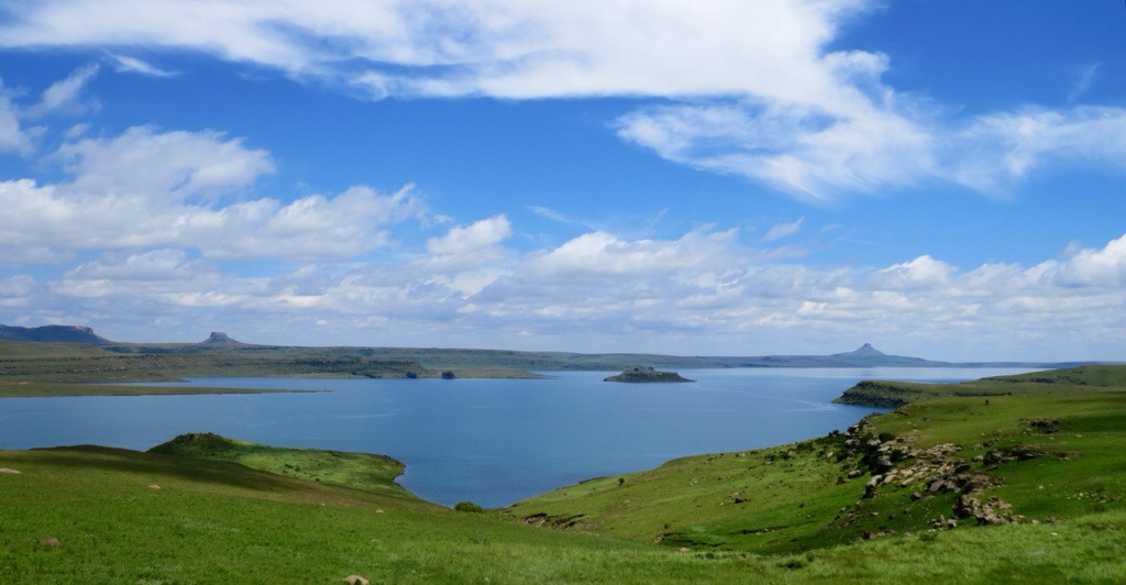
From Hlananathi we took the scenic R74 north, through an area called Little Switzerland toward Harrismith, then west on the R712 around the Mkukwini Dam and Phuthaditjhaba. Very attractive, lowland countryside.
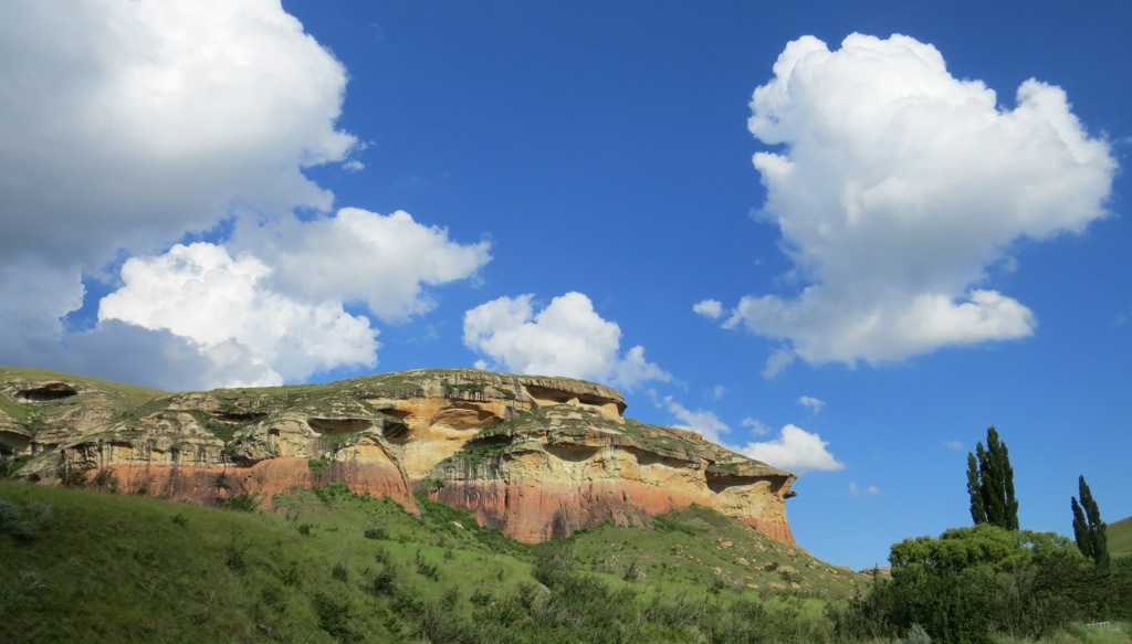
Still in Kwazulu-Natal we camped at the northern boundary of The Drakensberg and Lesotho in Golden Gate Highlands National Park, about 20km east of Clarens – essentially directly opposite where we had been before, the other side of ‘The Sentinel‘
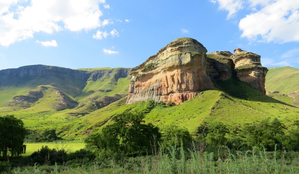
Perhaps not quite so mountainous, but equally beautiful, this was our view from The Penthouse for 4 days in the area…
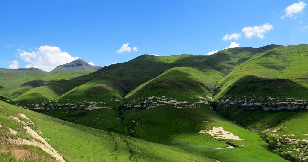
The area is surrounded by the Maluti Mountains – wonderfully green and lush (I guess that may be due to the frequent storms)…
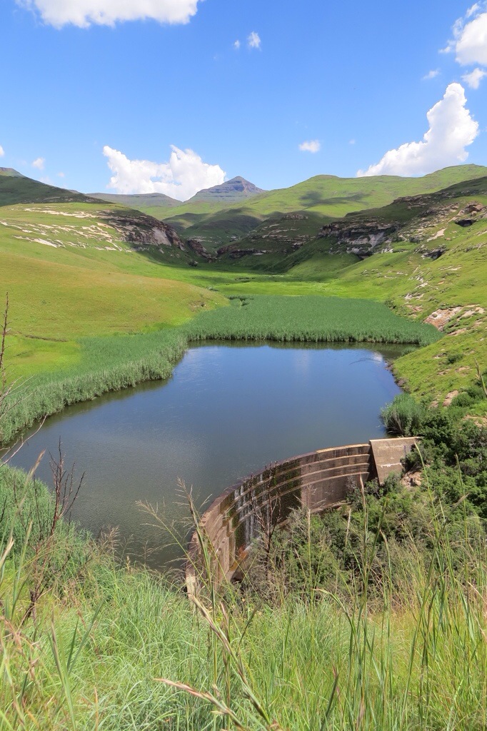
…and the little dams that litter the hillsides were all looking very healthy…
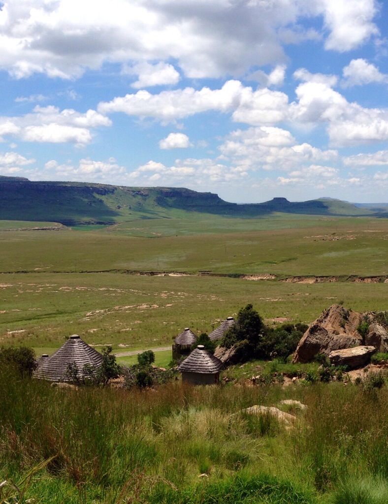
The scenery in all directions really is quite special and there are very few people about.
Local Basutho Zulu villages are thatched rondavels,
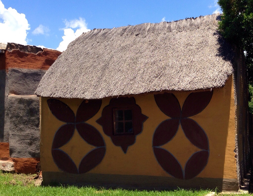
Some of the more upmarket structures are traditionally painted…
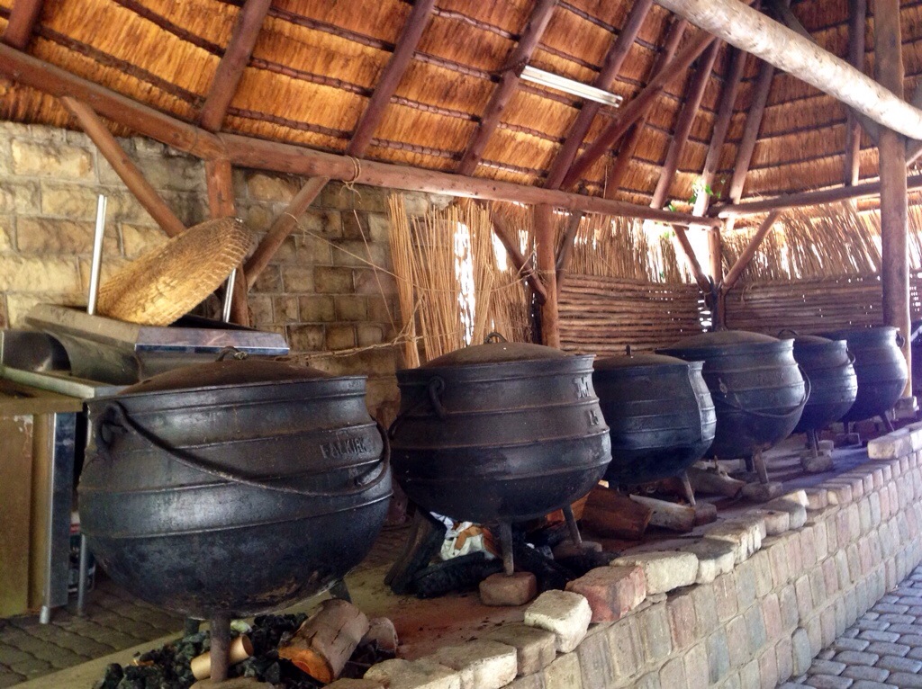
…and the traditional communal areas have pretty impressive kitchen set-ups.
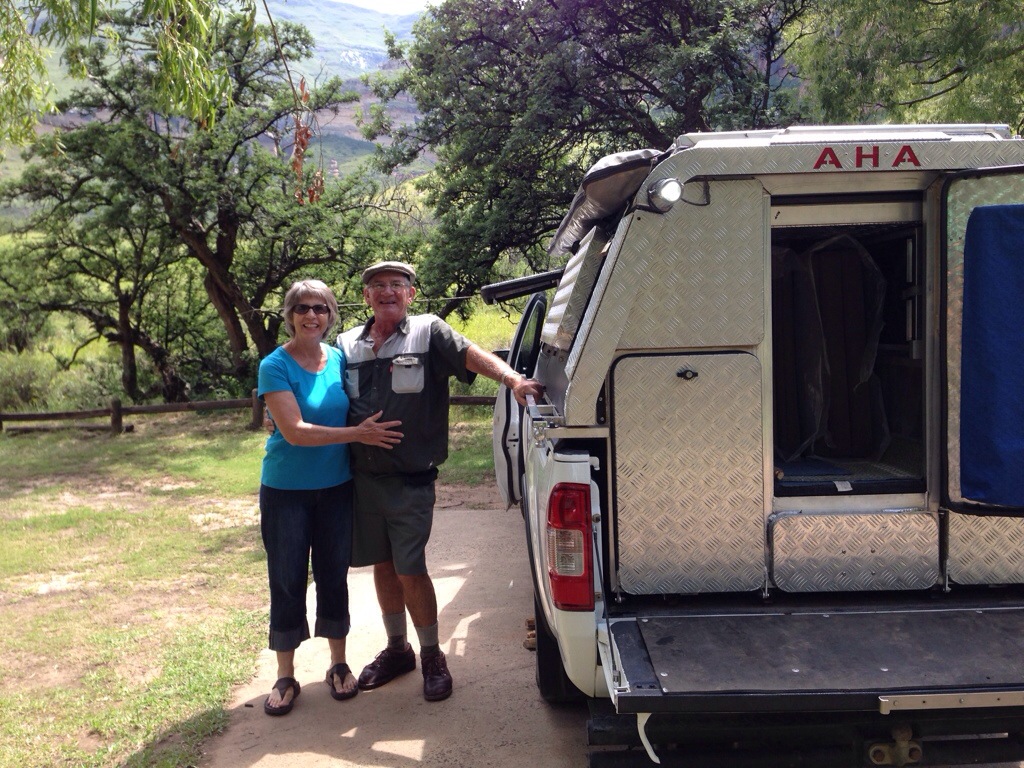
Once again, while camping we have met some really nice people… John and Ada from the Isle of Man who are touring for a couple of months, Colin & Coleen who helped us in a storm when we couldn’t get any electrics to work and, in particular Marie & Dup (DuPlesis) who seemed to think I needed feeding up and kept us supplied with watermelon, mango and home made cinnamon biscuits.
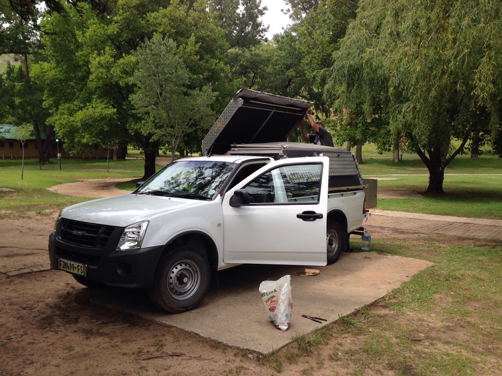
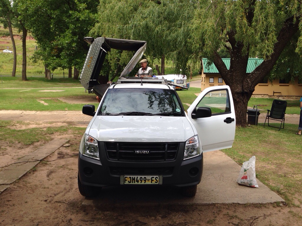
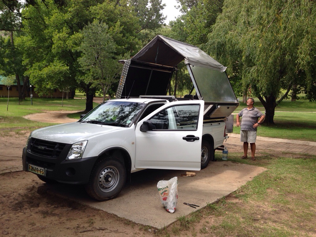
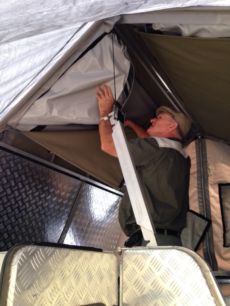
They have a camper unlike anything I’ve seen before., called an AHA (they hate the name, but love the camper!). Most ‘Bakkie’ (pick-up) based campers have a rooftent mounted on top of the hard-shell. Marie & Dup’s actually folds out from it so that they can sleep inside but also stand / sit inside when the weather is poor.
The rigid roof and one side of the Bakkie folds out at 45 degrees to the body…
The hard shell of the tent folds out as a concertina…
The second side of the Bakkie folds out and the inner panels form a peak…
…the tent fabric that forms each end of the camper fold down from zipped pockets…
…and the ‘kitchen’ slides out from beneath the beds, either side of the back door.
Really neat.
Really nice people.
Best of all though – Marie is sending me her biscuit and a bread recipe when she gets home.


